About the Municipality of Cazombo
History, geography and identity of a unique Angolan land
History
Cazombo has deep roots in the history of Angola and the Zambezi region. During the colonial period, the area was an important administrative and commercial center on the eastern border. After independence in 1975, Cazombo consolidated as a municipality of Moxico-Leste province, playing a strategic role in relations with neighboring countries, especially Zambia. The resilience of its communities and preservation of cultural traditions mark the identity of this territory.

Geographic Location
Located in the far east of Angola, Cazombo borders the Republic of Zambia. It is part of Moxico-Leste province and lies in a transition region between savannas, tropical forests and the alluvial plains of the Zambezi River. Its geographic position gives it strategic importance as a corridor linking Angola and Southern Africa.
Population and Culture
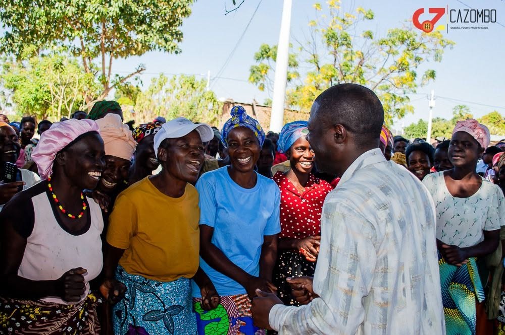
The population of Cazombo consists mainly of Luvale, Luchazi and Chokwe ethnic groups, among others. Local culture is expressed in music, traditional dances such as Pemba and Tchokwe, cuisine based on maize, cassava and Zambezi fish, and crafts in wood and natural fibers. Oral tradition and community rituals remain pillars of social life.